Image

Welcome To Fard Mapping Solution

At Fard Mapping Solutions, we believe every successful project begins with precision. As a trusted name in the field of surveying, mapping, and utility detection, we provide end-to-end solutions that empower engineers, architects, contractors, and developers to plan, design, and build with confidence.

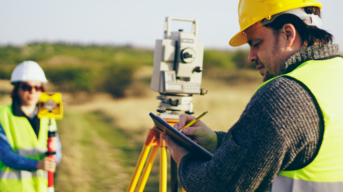
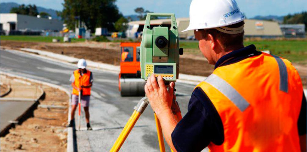
Our services include engineering surveys, cadastral surveys, civil & construction surveys, as-built surveys, utility detection, utility mark-up, utility mapping, and utility data management. By combining advanced technology with years of expertise, we deliver accurate data that minimizes risks, prevents costly errors, and ensures projects are executed safely and efficiently.

What sets us apart is our commitment to quality, safety, and client satisfaction. Whether it’s mapping underground utilities, defining property boundaries, or providing detailed construction surveys, we approach every project with the same dedication and professionalism.

At Fard Mapping Solutions, we are more than just surveyors—we are partners in progress. Our goal is to deliver clarity, accuracy, and trust at every stage, helping businesses and communities build stronger, smarter, and safer infrastructure for the future.
Faq's

Frequently Ask Question

From surveys to utility detection, we’ve answered your most common questions

What services does Fard Mapping Solutions provide?

We specialize in building construction mapping, utility detection & mark-up, clash detection, construction & civil surveys, and boundary surveys, helping clients plan and execute projects with precision and safety.

Why is utility detection important before construction?

Utility detection prevents accidents, damage, and costly delays by locating underground utilities such as water lines, gas pipes, and electrical cables before excavation begins.

Do you provide customized survey solutions?

Yes. Every project is unique, so we tailor our surveys and mapping services to meet the exact requirements of your site and construction needs.

How accurate are your surveys?

We use advanced technology and industry-standard methods to deliver highly accurate results, ensuring reliable data for planning, design, and construction.

Who can benefit from your services?

Our services are designed for engineers, architects, contractors, developers, and property owners who need reliable site data to minimize risks and improve efficiency.

What types of surveys and services do you offer?

At Fard Mapping Solutions, we offer a comprehensive range of surveys and services to support safe, accurate, and efficient construction projects

How do I request a quote?

You can easily contact us via our Contact Us page, email, or phone. Share your project details, and our team will provide a customized quote based on your requirements.

Do you work on both small and large projects?

Absolutely. From small-scale developments to large civil infrastructure projects, we bring the same level of accuracy, professionalism, and commitment to every task.

20+

Year Experience

100+

Projects Completed

100%

Client Satisfaction